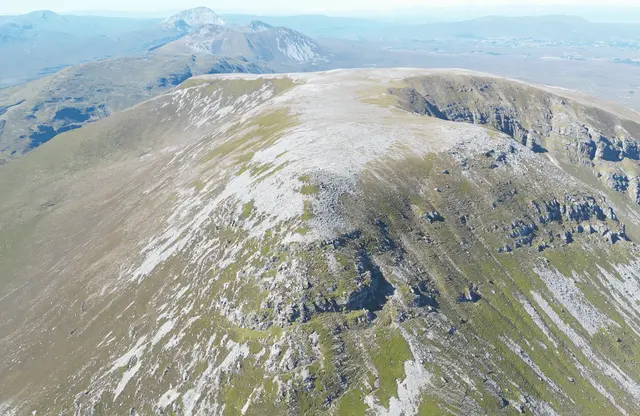
Muckish Trailhead
From the Muckish gap side
by Elena T.
Muckish mountain (666 m) may not be the highest mountain in Donegal, but it is the most recognized mountain.
Muckish mountain is that massive mountain that stays like a giant wall north of Glenveagh national park. It is the seventh sister of the Seven sisters mountain chain, and it is easy to recognize its flat top from everywhere you see it.
There are two ways to climb Muckish, one is from the north side, named the miner's path, and the second - a more casual one is from the gap between Muckish and Crocknalaragagh. In this guide, you will learn more about the gap path.
There are two car parks in the gap near the Bridge of Tears, the one from where the path starts and the other nearby called Muckish gap Shrine.
We can split the climbing into 4 stages.
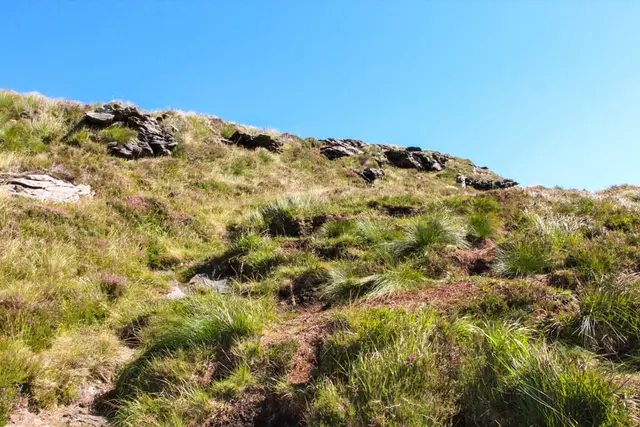
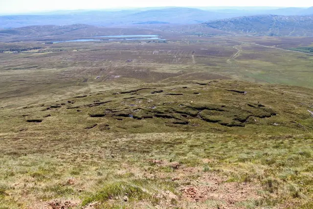
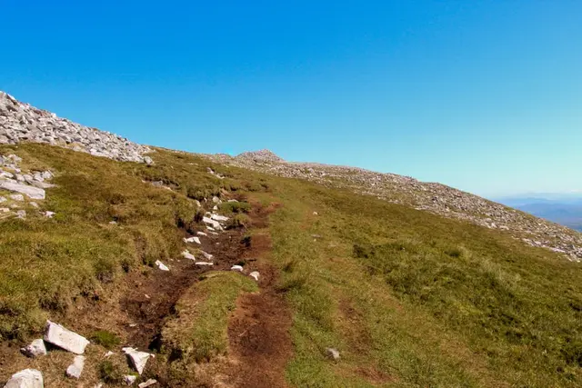
- The beginning - First, when you go, it is good to know that there is no clear path - it is more "go from where you feel it is ok". So from the car park, try to follow the steps in the mud leading slowly up the hill towards rocks, streams, and little waterfalls. It can be slippery and very muddy, so be awarded.
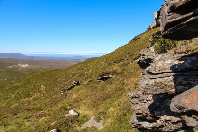
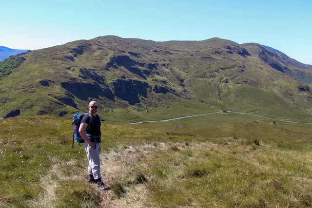
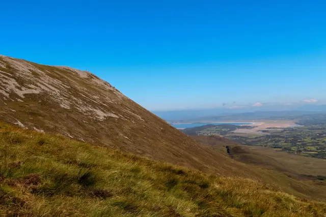
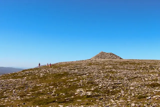
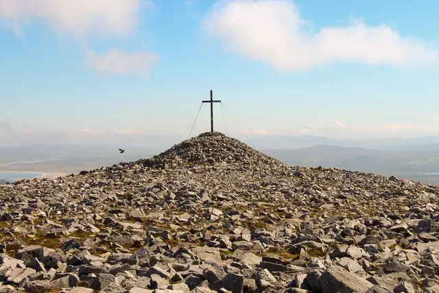
- Once you climb the first part and see the gap below you, the second part begins - it is flatter ( still slightly steep). The path starts to move beside the hill, and now you can see the flat Muckish top and its cross on the east side.
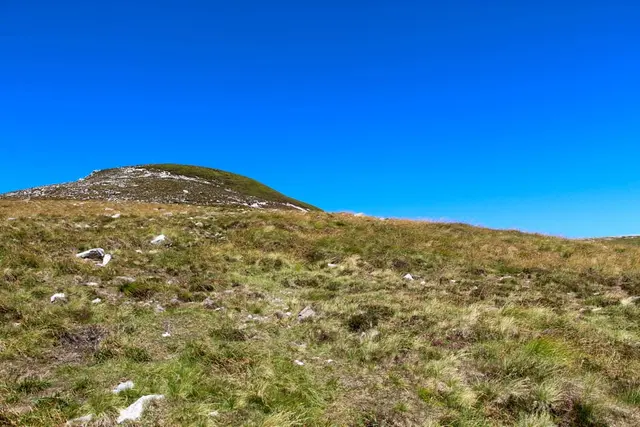
- Next is another steep climb up the turf to a rocky path on the top of the hill. Try to follow the steps.
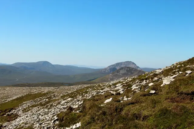
- Once you are on the rocky path is easy to follow, and soon you are on the top - Congratulations!
Hiking Tips
- Use good touristic shoes as the ground could be very slippery, muddy and wet.
- Keep a spear pair of socks and shoes in the car, even trousers.
- If you have Strava, use it to show you the way.
- The purple path in the picture below is an alternative way up and down, but it is very steep and unpleasant.
- Do not forget your hat and wet/wind jacket.
- Go there early in mourning to avoid crowds during peak season (summer weekends)
It could take about 2 hours of casual walking up to the top.
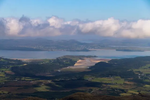
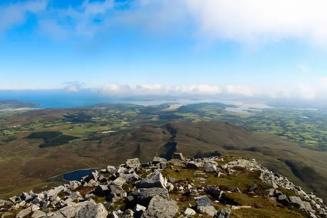
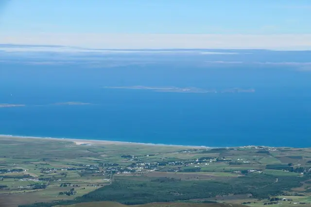
The top is flat and rocky. There are plenty of things to explore and beautiful views to enjoy.
Good luck!
Pictures by Elena T.
Amenities
- Parking (Free)
- Pets Allowed
Map Location
Strava reference
Below is a Strava reference for my first trip getting there. You can use it as your own reference while planning your trip.
Distance from:
- Letterkenny - 28.7 km
- Buncrana - 69.8 km
- Bunbeg - 27.3 km
- Donegal Town - 71.5 km
- Derry - 39.2 ml